


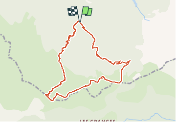

10.3 km | 17.5 km-effort

User


FREE GPS app for hiking
 SityTrail
IGN / Geographical institutes
SityTrail World
The world is yours!
Trail Walking of 11 km to be discovered at Auvergne-Rhône-Alpes, Isère, Tréminis. This trail is proposed by ranchoup.
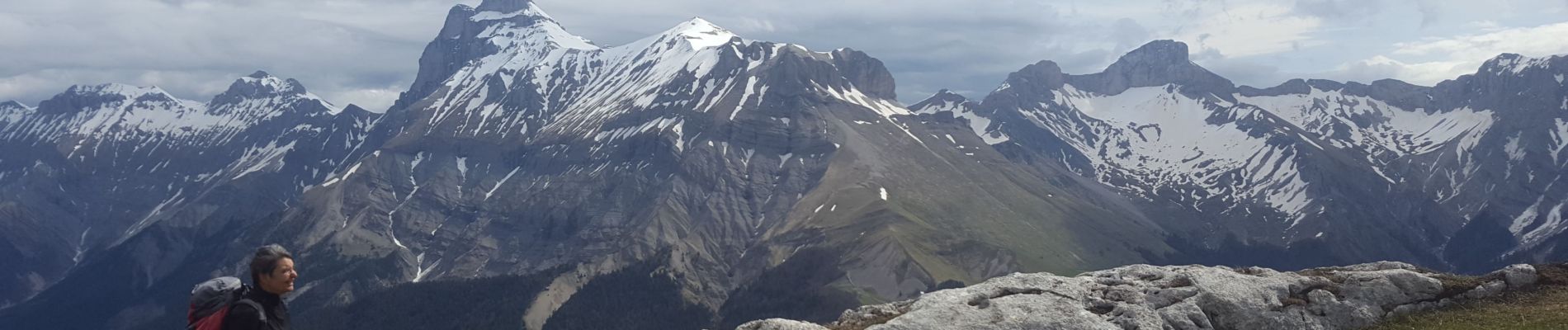
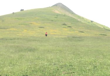
Très belle rando de mois de mai, profusion de fleurs dans les alpages (jonquilles, gentianes, pensées, anémones pulsatilles), quelques marmottons, et très beau panorama sur la haute chaine constituant la bordure entre le Triève et le Dévoluy, dont le Grand Ferrand.
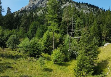
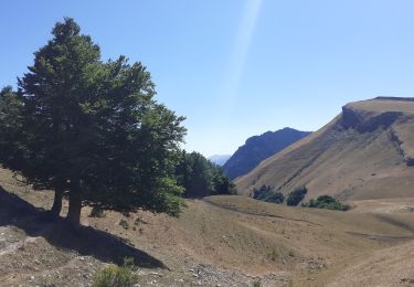
Après être passé à Chateau Bas (Tréminis) laisser la voiture sur la route forestière de pré Girard, 200 mètres avant le site de pique nique du Grand Ferrand. Puis monter le chemin balisé en jaune sentier Amigoni), montée bien tracée en nombreux lacets à travers la forêt , jusqu'à l'alpage (sentier des résistants) ; attention, prudence dans la partie haute de la forêt, avant un passage avec une petite échelle, le chemin est un peu étroit et glissant en période humide.
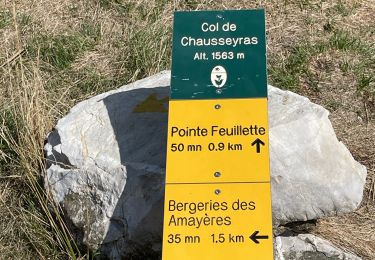
Du sommet de la crête de Paille, très belle vue sur le Grand Ferrand et sommets voisins, on distingue également au loin, le sud Vercors et la Chartreuse.
Retour par le Col de la Croix en faisant un petit détour vers l'ancienne carrière lithographique.


Walking

Walking

Walking

Walking
Walking
Walking
Walking
Walking
Walking