


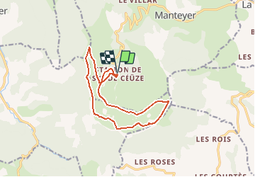


9.6 km | 15.6 km-effort

Les Hautes Alpes à découvrir ! GUIDE+


FREE GPS app for hiking
 SityTrail
IGN / Geographical institutes
SityTrail World
The world is yours!
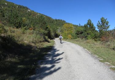
Trail Mountain bike of 13.7 km to be discovered at Provence-Alpes-Côte d'Azur, Hautes-Alpes, Manteyer. This trail is proposed by Camping Les Rives du Lac.
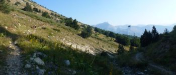
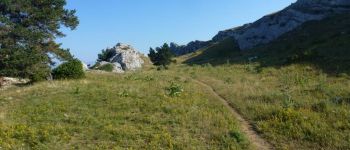
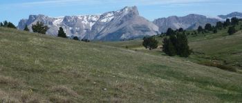
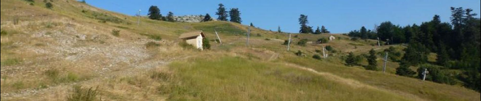
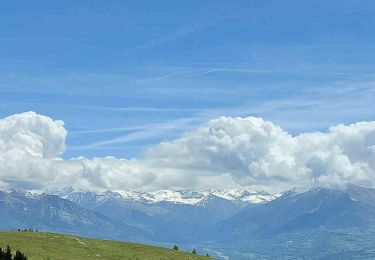
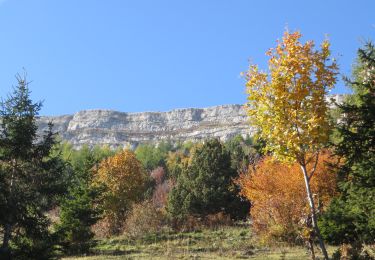
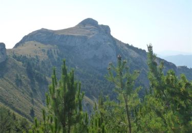
A very nice hike in the circus of Saint Genis.
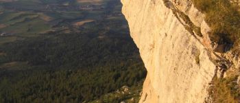
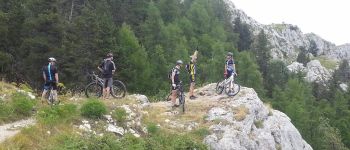
Easy climb by the forest track, then very technical downhill south (portage) cliffs. Not recommended for people with vertigo. New climb, before a beautiful single in the forest, before joining the pass of Faye.


Walking

Mountain bike

Mountain bike
Mountain bike
Running

Mountain bike

Mountain bike
Mountain bike
Mountain bike