


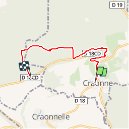

10.8 km | 13.4 km-effort


User


FREE GPS app for hiking
 SityTrail
IGN / Geographical institutes
SityTrail World
The world is yours!
Trail Walking of 4.7 km to be discovered at Hauts-de-France, Aisne, Craonne. This trail is proposed by GOELERANDO2.
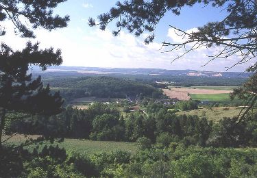
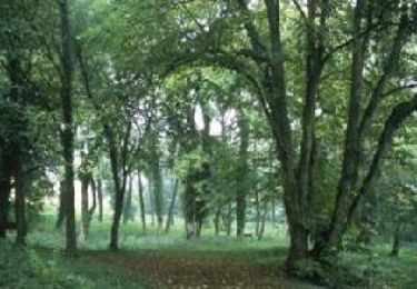
Départ du centre ville de Craonne vers le plateau de Californie.
Walking

Walking
Walking

Walking

Walking
Walking
Walking
Walking