Trail Other activity Aubenas - aubenas - Vogüé - Photo
© OpenStreetMap contributors
Length
Length
9 km
Max alt
Max alt
241 m
Uphill gradient
Uphill gradient
58 m
Km-Effort
Km-Effort  
10 km
Min alt
Min alt
151 m
Downhill gradient
Downhill gradient
130 m
Boucle
Boucle
No
Creation date :
2018-04-17 19:43:21.987
Updated on :
2018-04-17 19:43:21.987

(0 Reviews)

Other activity
Other activity
2h29
Difficulty : Unknown

Scan this QR Code to open this trail in the SityTrail application

FREE GPS app for hiking

Logo SityTrail SityTrail

IGN / Geographical institutes

Download SityTrail from the App Store Download SityTrail from Google Play

Logo SityTrail SityTrail World

The world is yours!

Download SityTrail from the App Store Download SityTrail from Google Play Download SityTrail on Huawei AppGallery

About

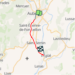
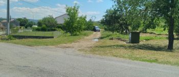
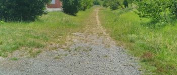
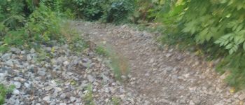
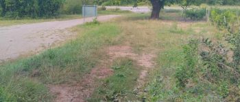
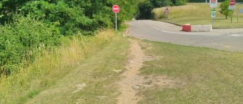
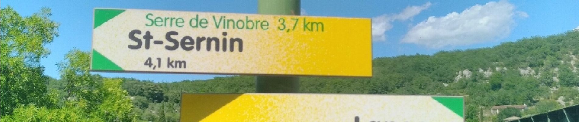
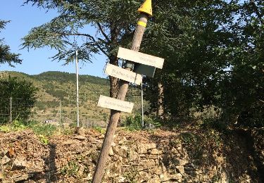
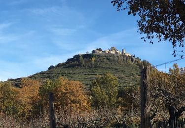
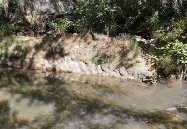
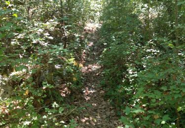
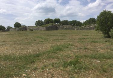
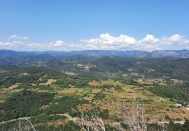
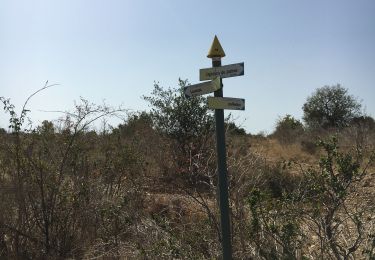
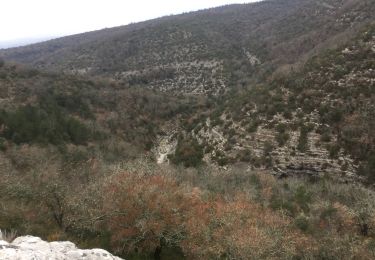
Trail Other activity of 9 km to be discovered at Auvergne-Rhône-Alpes, Ardèche, Aubenas. This trail is proposed by voyageur_nature.

Elevation profile

Photos

Points of interest

Point of interest Aubenas - Aubenas boutiques SNCF - Photo
voyageur_nature
Point of interest Aubenas - Point 3 - Photo
voyageur_nature
AUBENAS 
Point of interest Aubenas - Point 4 - Photo
voyageur_nature
AUBENAS 
Point of interest Saint-Étienne-de-Fontbellon - Point 5 - Photo
voyageur_nature
SAINT-ÉTIENNE-DE-FONTBELLON 
Point of interest Saint-Étienne-de-Fontbellon - Point 6 - Photo
voyageur_nature
SAINT-ÉTIENNE-DE-FONTBELLON 
Point of interest Saint-Étienne-de-Fontbellon - Point 7 - Photo
voyageur_nature
SAINT-ÉTIENNE-DE-FONTBELLON 
Point of interest Saint-Étienne-de-Fontbellon - Point 8 - Photo
voyageur_nature
SAINT-ÉTIENNE-DE-FONTBELLON 
Point of interest Saint-Étienne-de-Fontbellon - Point 9 - Photo
voyageur_nature
SAINT-ÉTIENNE-DE-FONTBELLON 
Point of interest Saint-Étienne-de-Fontbellon - Point 10 - Photo
voyageur_nature
SAINT-ÉTIENNE-DE-FONTBELLON 
Point of interest Saint-Étienne-de-Fontbellon - Point 11 - Photo
voyageur_nature
SAINT-ÉTIENNE-DE-FONTBELLON 
Point of interest Saint-Sernin - Point 12 - Photo
voyageur_nature
SAINT-SERNIN 
Point of interest Saint-Sernin - Point 13 - Photo
voyageur_nature
SAINT-SERNIN 
Point of interest Saint-Sernin - Point 15 - Photo
voyageur_nature
SAINT-SERNIN 
Point of interest Saint-Sernin - Point 16 - Photo
voyageur_nature
SAINT-SERNIN 
Point of interest Saint-Sernin - Point 17 - Photo
voyageur_nature
SAINT-SERNIN 
Point of interest Saint-Sernin - Point 19 - Photo
voyageur_nature
SAINT-SERNIN 
Point of interest Vogüé - Point 20 - Photo
voyageur_nature
VOGÜÉ 
Point of interest Vogüé - Point 24 - Photo
voyageur_nature
VOGÜÉ 
Point of interest Vogüé - Point 25 - Photo
voyageur_nature
VOGÜÉ 
Point of interest Vogüé - Point 26 - Photo
voyageur_nature
VOGÜÉ 
Point of interest Vogüé - Point 27 - Photo
voyageur_nature
VOGÜÉ 

Positioning

Country:
France
Region :
Auvergne-Rhône-Alpes
Department/Province :
Ardèche
Municipality :
Aubenas
Location:
Unknown
Start:(UTM)
610269 ; 4940598 (31T) N.

Trails nearby

Trail Walking Vesseaux - Vesseaux - Photo
Walking
alainmeurant

Walking

Easy
(2)
Vesseaux, Auvergne-Rhône-Alpes, Ardèche, France
11.3 km | 15.9 km-effort
3h 21min
Yes
Trail Walking Saint-Privat - Trace St Privat  autour du Canyon de la  Louyre (partie Basse) 19-03-2018 - Photo
Walking
coureursdecretes

Walking

Difficult
(1)
Saint-Privat, Auvergne-Rhône-Alpes, Ardèche, France
12.1 km | 16.9 km-effort
3h 49min
Yes
Trail sport Saint-Sernin - 2024-05-10_14h11m42_serre de vinobre - v3 (2) - Photo
sport
Martine Pansier

sport

Very easy
(1)
Saint-Sernin, Auvergne-Rhône-Alpes, Ardèche, France
6.5 km | 9.1 km-effort
Unknown
Yes
Trail Walking Lussas - Le canyon de la Louyre - Photo
Walking
cousam

Walking

Difficult
Lussas, Auvergne-Rhône-Alpes, Ardèche, France
10.9 km | 14.1 km-effort
4h 25min
Yes
Trail Walking Lussas - 07 loutre gorges 09.07.2033 - Photo
Walking
randodyssée

Walking

Medium
Lussas, Auvergne-Rhône-Alpes, Ardèche, France
10.8 km | 14.1 km-effort
5h 7min
Yes
Trail Walking Lussas - 07 canyon de la loutre  - Photo
Walking
silvestreclaudine

Walking

Difficult
Lussas, Auvergne-Rhône-Alpes, Ardèche, France
14.1 km | 17.2 km-effort
6h 46min
Yes
Trail Walking Vesseaux - Vesseaux La Louyre 19km - Photo
Walking
GUIDE
thonyc

Walking

Medium
Vesseaux, Auvergne-Rhône-Alpes, Ardèche, France
18.5 km | 26 km-effort
6h 34min
Yes
Trail Walking Lussas - Les camps romains de Lussas - Photo
Walking
alainmeurant

Walking

Easy
Lussas, Auvergne-Rhône-Alpes, Ardèche, France
5.8 km | 6.9 km-effort
2h 23min
Yes
Trail Walking Lussas - canyon de la Louyre  Ardèche 07 Janvier 2018  - Photo
Walking
Pacekall

Walking

Easy
Lussas, Auvergne-Rhône-Alpes, Ardèche, France
10.1 km | 12.9 km-effort
4h 51min
Yes


Close
My subscriptions