


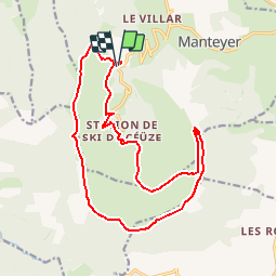

9.6 km | 15.6 km-effort

Les Hautes Alpes à découvrir ! GUIDE+


FREE GPS app for hiking
 SityTrail
IGN / Geographical institutes
SityTrail World
The world is yours!
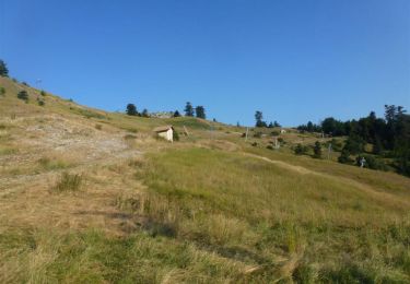
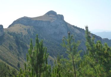
Trail Running of 18.5 km to be discovered at Provence-Alpes-Côte d'Azur, Hautes-Alpes, Manteyer. This trail is proposed by Camping Les Rives du Lac.
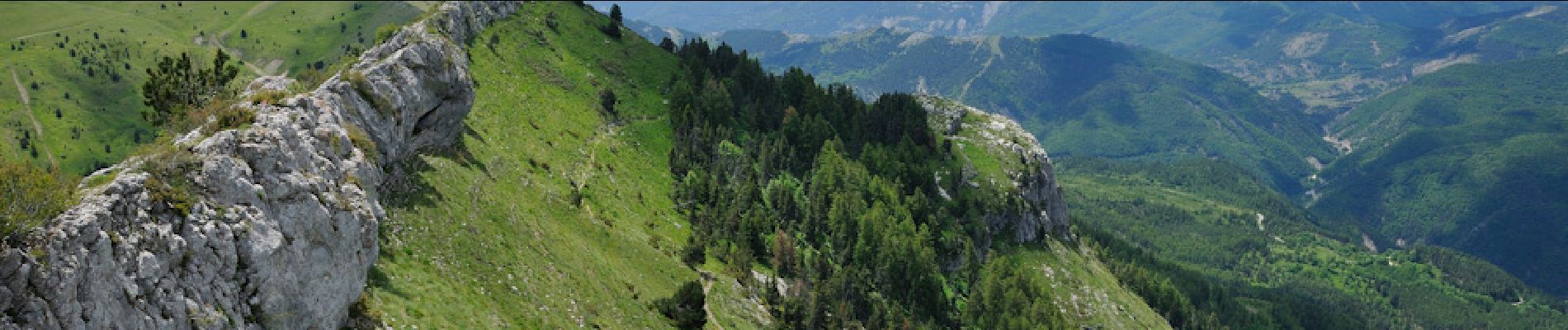
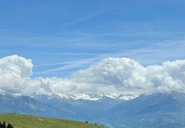
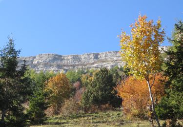
Un de nos trail préféré : Une distance et un dénivelé raisonnables, une vue à couper le souffle, des passages techniques, une très grande variété de terrains. Si vous êtes un peu entraînés, nous vous le recommandons fortement !!


Walking

Mountain bike

Mountain bike
Mountain bike
Running

Mountain bike
Mountain bike

Mountain bike
Mountain bike