


10.9 km | 16.5 km-effort


User


FREE GPS app for hiking
 SityTrail
IGN / Geographical institutes
SityTrail World
The world is yours!
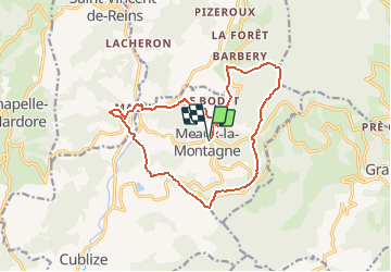
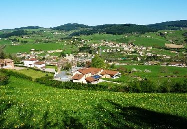
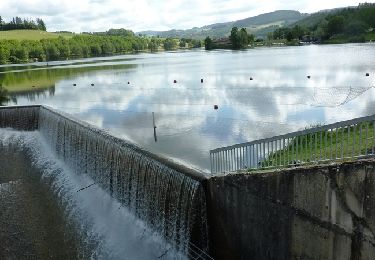
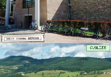
Trail Walking of 15.7 km to be discovered at Auvergne-Rhône-Alpes, Rhône, Meaux-la-Montagne. This trail is proposed by Thomasdanielle.
D/A Le Bourg
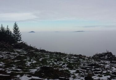
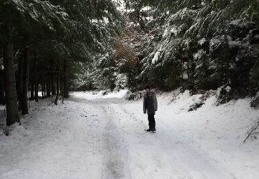
15,7 km - D. 652 m
Walking
Walking
Walking
Mountain bike
Walking
Walking
Mountain bike

Mountain bike
Mountain bike