


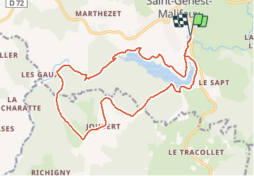

19.8 km | 0 m-effort


User


FREE GPS app for hiking
 SityTrail
IGN / Geographical institutes
SityTrail World
The world is yours!
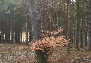
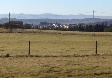
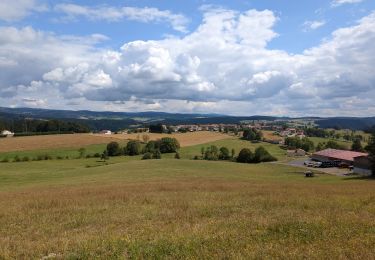
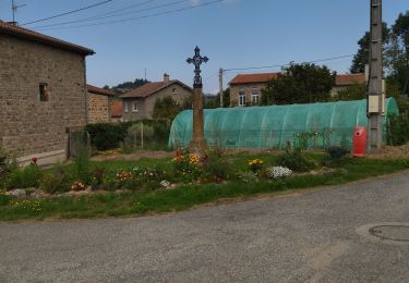
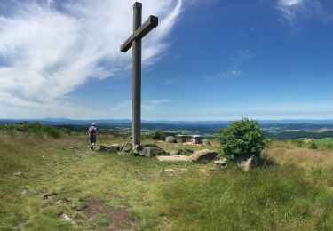
Trail Nordic walking of 10.7 km to be discovered at Auvergne-Rhône-Alpes, Loire, Saint-Genest-Malifaux. This trail is proposed by OLYMP42.
Départ du parking de camping.
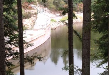
Suivre direction le QUERET puis après mur du barrage, traverser la semène et prendre à droite jusqu'au GAUDS et après suivre PR2 jusqu'au point altitude 1001, dans le virage laisser la route goudronnée pour prendre le sentier en fàce de la maison dans le virage, descendre tout droit jusqu'au barrage, prendre ensuite à droite pour retrouver la direction du retour
Walking
Walking
Walking
Walking
Walking
Walking
Road bike
Walking
Walking