


Circuit de la Palud.Gapencais.(04-04-18)

Dervalmarc
User
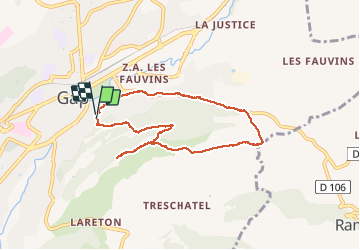

Length
7.8 km

Max alt
966 m

Uphill gradient
231 m
Km-Effort
10.9 km

Min alt
749 m

Downhill gradient
237 m
Boucle
Yes
Creation date :
2018-04-17 23:30:52.347
Updated on :
2018-04-17 23:30:52.347
2h20
Difficulty : Easy

FREE GPS app for hiking
 SityTrail
IGN / Geographical institutes
SityTrail Plus
The world is yours!
About
Trail Walking of 7.8 km to be discovered at Provence-Alpes-Côte d'Azur, Hautes-Alpes, Gap. This trail is proposed by Dervalmarc.
Description
Très belle ballade entre ville et campagne.
Nombreux points de vue sur la ville de Gap.
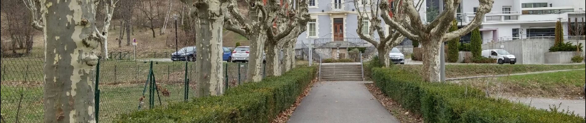
Photos
 - Photo 1")
 - Photo 2")
 - Photo 3")
 - Photo 4")
 - Photo 5")
 - Photo 6")
 - Photo 7")
 - Photo 8")
 - Photo 9")
 - Photo 10")
 - Photo 11")
 - Photo 12")
 - Photo 13")
 - Photo 14")
 - Photo 15")
 - Photo 16")
Positioning
Country:
France
Region :
Provence-Alpes-Côte d'Azur
Department/Province :
Hautes-Alpes
Municipality :
Gap
Location:
Gap
Start:(Dec)
Start:(UTM)
268602 ; 4938048 (32T) N.
Comments