


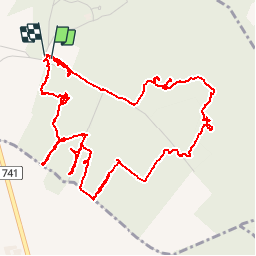


14.3 km | 16.1 km-effort


User


FREE GPS app for hiking
 SityTrail
IGN / Geographical institutes
SityTrail World
The world is yours!
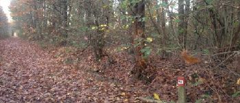
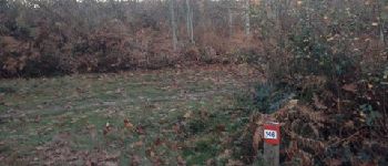
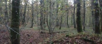
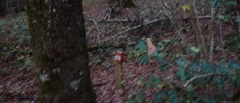
Trail Running of 7.5 km to be discovered at New Aquitaine, Vienne, Smarves. This trail is proposed by francejpp.


Walking
On foot

Walking

Walking
Walking

Walking
Walking
Walking
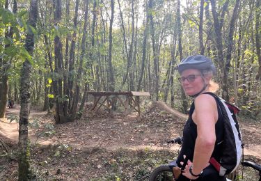
Mountain bike