


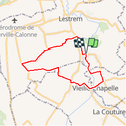

13.7 km | 14.3 km-effort


User


FREE GPS app for hiking
 SityTrail
IGN / Geographical institutes
SityTrail World
The world is yours!
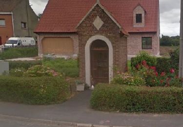
Trail Walking of 11.9 km to be discovered at Hauts-de-France, Pas-de-Calais, Lestrem. This trail is proposed by eaea7charles.
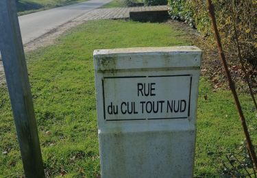
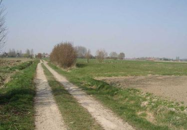
randonnée de 12km au départ de La Fosse à Lestrem, vers le paradis !
mais ne rêvez pas.

Walking
Walking

Walking
Walking

Walking
Walking

Walking
Walking

Walking