


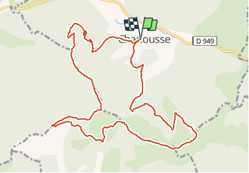

21 km | 31 km-effort


User


FREE GPS app for hiking
 SityTrail
IGN / Geographical institutes
SityTrail World
The world is yours!
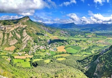
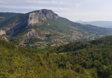
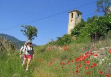
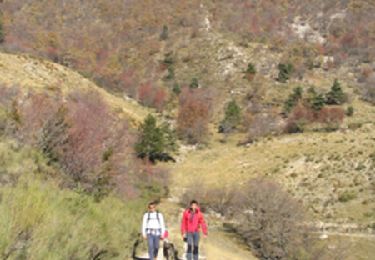
Trail Walking of 13.6 km to be discovered at Provence-Alpes-Côte d'Azur, Hautes-Alpes, Chanousse. This trail is proposed by rigol05.
Sortie du 19/04/2018Itinéraire avec des pentes relativement raides surtout pour atteindre le sommet de la Fayée. Itinéraire peu balisé mais sur bon sentier.
Mountain bike
Walking

Mountain bike
Walking
Walking
Walking
Walking
Walking
Walking