


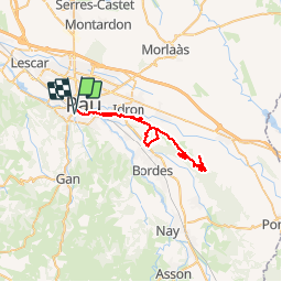


7.3 km | 10.1 km-effort


User


FREE GPS app for hiking
 SityTrail
IGN / Geographical institutes
SityTrail World
The world is yours!
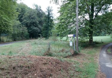
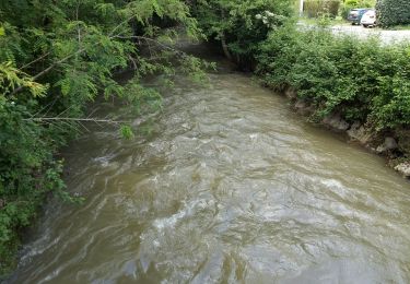
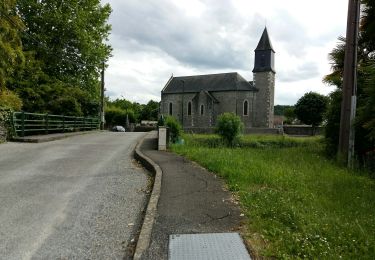
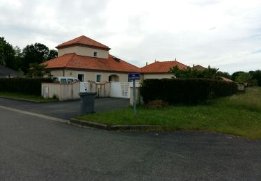
Trail Mountain bike of 47 km to be discovered at New Aquitaine, Pyrénées-Atlantiques, Gelos. This trail is proposed by Gus64.


Walking

On foot
Walking
Walking
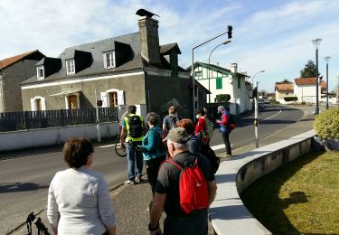
Walking
Walking
Walking
Walking
Walking