


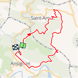
RP66 ANSIGNAN - aqueduc - rec de la Piquière - ST ARNAC - col de Lacroix - ANSIGNAN

jeff66
User


2h26
Difficulty : Medium

FREE GPS app for hiking
 SityTrail
IGN / Geographical institutes
SityTrail Plus
The world is yours!
About
Trail Walking of 11.5 km to be discovered at Occitania, Pyrénées-Orientales, Ansignan. This trail is proposed by jeff66.
Description
RP66 ANSIGNAN - aqueduc - rec de la Piquière - ST ARNAC - les Pujals - RD77 - col de Lacroix - piste DFCI53 - Sarrat Duc - camp de la Mourié - la Couillade du Rentadou - la guarrigue de roque rouge - Condomines - ANSIGNAN
Positioning
Comments