


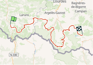

16.9 km | 30 km-effort


User


FREE GPS app for hiking
 SityTrail
IGN / Geographical institutes
SityTrail World
The world is yours!
Trail Walking of 175 km to be discovered at New Aquitaine, Pyrénées-Atlantiques, Borce. This trail is proposed by tigrou31.
Trace GPSde Borce (Pyrénées-Atlantiques) au Lac de l'Oule (Hautes-Pyrénées)
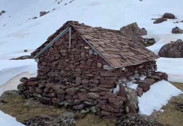
Snowshoes

Walking

Walking
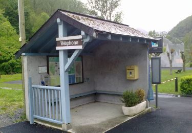
On foot
On foot
On foot
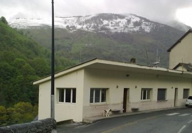
On foot
On foot
On foot