


boucle de monfoft

fab0202
User


Length
9.9 km

Max alt
190 m

Uphill gradient
223 m
Km-Effort
12.8 km

Min alt
71 m

Downhill gradient
223 m
Boucle
Yes
Creation date :
2018-06-26 13:40:24.202
Updated on :
2018-06-26 13:40:24.202
2h27
Difficulty : Easy

FREE GPS app for hiking
 SityTrail
IGN / Geographical institutes
SityTrail Plus
The world is yours!
About
Trail Walking of 9.9 km to be discovered at New Aquitaine, Dordogne, Vitrac. This trail is proposed by fab0202.
Description
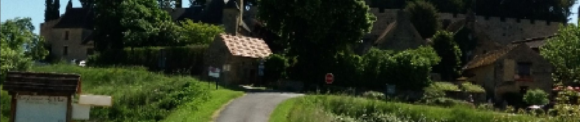
beaux paysages dordogne et village médiéval de monfort ballade en foret et sur petite route
Photos


Positioning
Country:
France
Region :
New Aquitaine
Department/Province :
Dordogne
Municipality :
Vitrac
Location:
Unknown
Start:(Dec)
Start:(UTM)
359821 ; 4965651 (31T) N.
Comments