


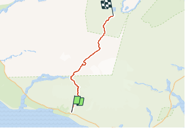


17.2 km | 0 m-effort


User

FREE GPS app for hiking
 SityTrail
IGN / Geographical institutes
SityTrail World
The world is yours!
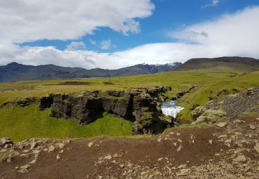
Trail Walking of 74 km to be discovered at Unknown, Rangárþing eystra. This trail is proposed by fabiencarpentier.
Randonnée du 26 juin au 1 juillet 2018
Walking