


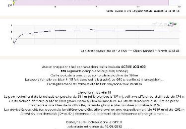
15.4 km | 18.6 km-effort


User


FREE GPS app for hiking
 SityTrail
IGN / Geographical institutes
SityTrail World
The world is yours!
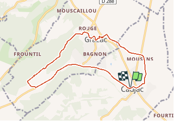
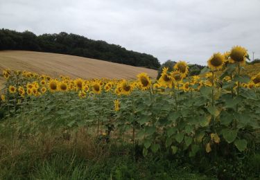
Trail Walking of 9.5 km to be discovered at Occitania, Haute-Garonne, Caujac. This trail is proposed by pidjam.
circuit fait en juin 2018; beaucoup d'herbes folles et des ronces sur les passages que j'ai enlevé par rapport à l'autre circuit proposé ici.Pas de chemin sous les lignes au km 5.3.

Walking
Walking
Equestrian

Walking

Walking
Walking
Walking
Walking
Walking
rando accessible aux débutants peu sportif. ceci dit une ou deux côtes à pas piquer des vers