


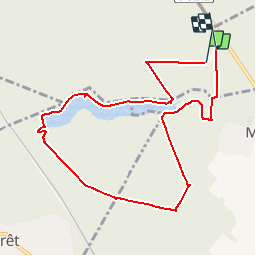

9.2 km | 11.2 km-effort


User


FREE GPS app for hiking
 SityTrail
IGN / Geographical institutes
SityTrail World
The world is yours!
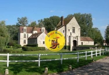
Trail Walking of 9 km to be discovered at Hauts-de-France, Oise, Chantilly. This trail is proposed by GOELERANDO2.
Parking et départ de l'aire de pique nique de la table de Montgrésin (60)

Walking
Walking
Walking

Walking

Walking
Walking
Walking

Walking

Walking