


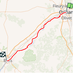

52 km | 57 km-effort


User


FREE GPS app for hiking
 SityTrail
IGN / Geographical institutes
SityTrail World
The world is yours!
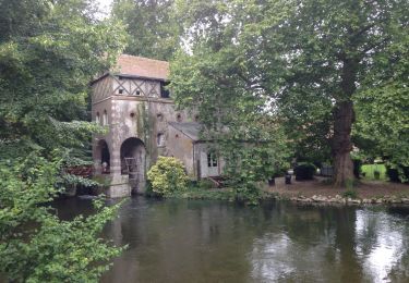
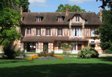
Trail Other activity of 67 km to be discovered at Centre-Loire Valley, Loiret, Orléans. This trail is proposed by wallander76.
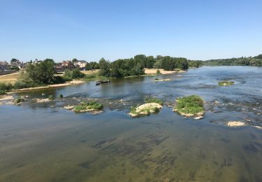
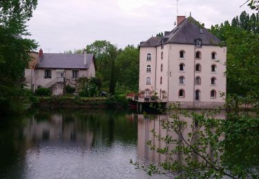
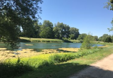
Randonnée d'Orléans à Blois en suivant les bords de Loire
Mountain bike
Running
Mountain bike
Walking

Walking
Cycle
Road bike

Walking

Road bike