


34 km | 43 km-effort

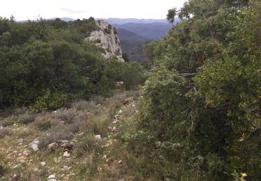
On foot
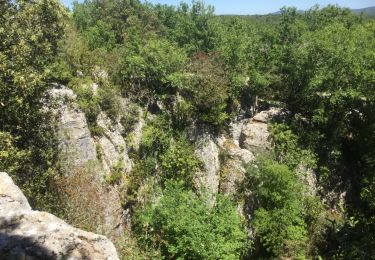
Walking
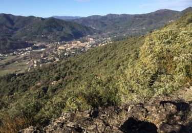
Walking
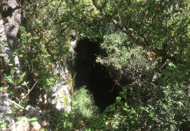
Walking
Walking
Walking
Walking
On foot
Walking
Walking
Walking
Walking
Walking
On foot
On foot
On foot
Walking
Walking
Walking
Walking
Walking