


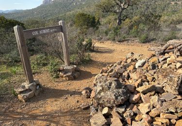
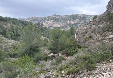
20 km | 31 km-effort
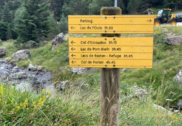
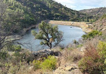
Walking

sport
Walking
sport
Walking
Walking
Walking
Walking

On foot
Walking
Walking
Walking
Walking
Walking
Walking
Walking

Walking
Walking
Walking
Walking
Walking