


11.6 km | 27 km-effort

Walking
Walking
Walking
Walking
Walking
Walking
Walking
Walking
Walking
Walking
Walking
Walking
Walking
Walking
Walking
Walking

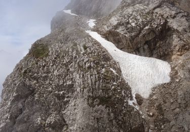
Snowshoes
Walking

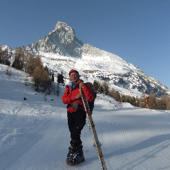
Touring skiing
Touring skiing
Touring skiing