


6,2 km | 10 km-effort
Las Palmas: Descubra las mejores excursiones: 19 a pie, 146 senderismo, 1 marcha nórdica, 3 carrera y 6 ruta. Todos estos circuitos, recorridos, itinerarios y actividades al aire libre están disponibles en nuestras aplicaciones SityTrail para smartphone y tablet.
Senderismo


Senderismo
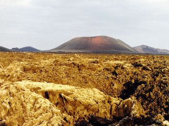
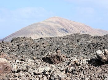
• Montée au sommet du volcan
Senderismo
A pie
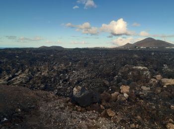
• Trail created by Parque Nacional de Timanfaya.
A pie
• Trail created by Cabildo de Gran Canaria. Sitio web: http://www.grancanaria.com
A pie
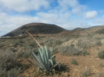
• Trail created by Ayuntamiento de Teguise.
A pie
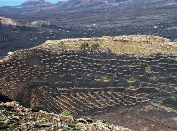
• Trail created by Ayuntamiento de Teguise.
A pie
• Trail created by Ayuntamiento de Teguise.
A pie
• The Way is not enough signposted
Senderismo
Senderismo
Senderismo
Senderismo
Senderismo
Senderismo
Senderismo
Senderismo
Senderismo
A pie
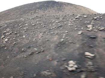
• Trail created by Parque Nacional de Timanfaya.
A pie
20 excursiones mostradas en 175
Aplicación GPS de excursión GRATIS
 SityTrail
IGN / Institutos geográficos
SityTrail World
El mundo es suyo