


9,6 km | 16,2 km-effort
Lantosque: Descubra las mejores excursiones: 4 a pie, 41 senderismo y 2 carrera. Todos estos circuitos, recorridos, itinerarios y actividades al aire libre están disponibles en nuestras aplicaciones SityTrail para smartphone y tablet.
A pie


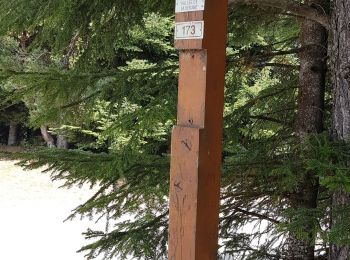
• Trail created by Département des Alpes-Maritimes.
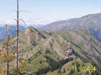
Senderismo
Senderismo
A pie
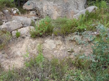
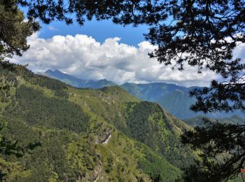
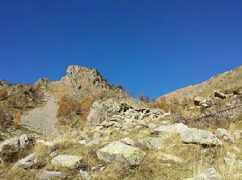
• Randonnée pédestre - Au départ de Lantosque, hameau de Pélasque (650 m) Sitio web: https://randoxygene.depa...
Senderismo
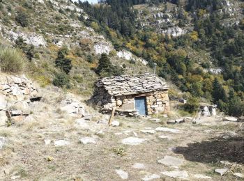
Senderismo
Senderismo
Senderismo

A pie
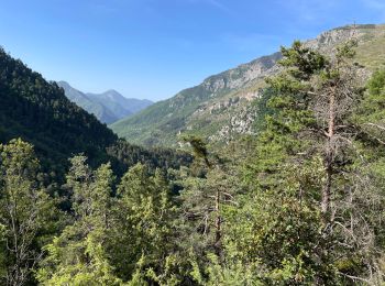
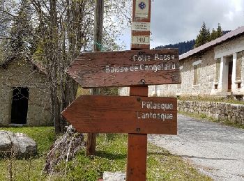
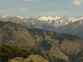
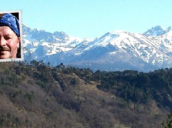
• Randonnée pédestre - Au départ de Lantosque, hameau de Saint-Colomban (740 m) Sitio web: https://randoxygene.departe...
Senderismo
Senderismo
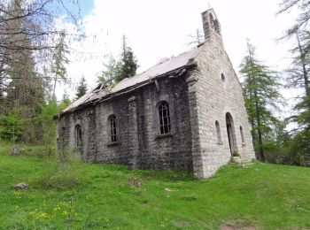
Senderismo
Senderismo

Senderismo
Senderismo
Senderismo

Senderismo
Senderismo
• A decouvert
Senderismo
• agréable
Senderismo
20 excursiones mostradas en 47
Aplicación GPS de excursión GRATIS
 SityTrail
IGN / Institutos geográficos
SityTrail World
El mundo es suyo