


7,3 km | 8,3 km-effort
Lancieux: Descubra las mejores excursiones: 4 a pie, 23 senderismo y 1 marcha nórdica. Todos estos circuitos, recorridos, itinerarios y actividades al aire libre están disponibles en nuestras aplicaciones SityTrail para smartphone y tablet.
A pie


• Trail created by Communauté de communes Côte d'Émeraude.
A pie
• Trail created by Communauté de communes Côte d'Émeraude.

Senderismo
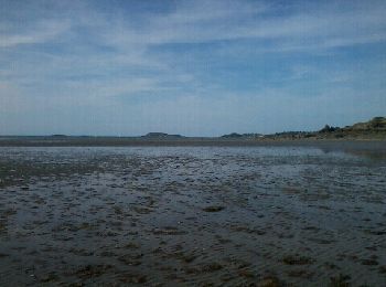
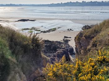
• bord de mer
Senderismo
Senderismo
• Lancieux - 8.5km 100m 2h40 40mn pause - 2017 06 29
Senderismo
Senderismo
Senderismo
Senderismo

A pie
A pie
Senderismo
• More information on GPStracks.nl : http://www.gpstracks.nl
Senderismo
•
Senderismo
Marcha nórdica
Senderismo
Senderismo
Senderismo
Senderismo
Senderismo
20 excursiones mostradas en 28
Aplicación GPS de excursión GRATIS
 SityTrail
IGN / Institutos geográficos
SityTrail World
El mundo es suyo