


12,9 km | 15,9 km-effort
Châtillon-en-Vendelais: Descubra las mejores excursiones: 3 senderismo. Todos estos circuitos, recorridos, itinerarios y actividades al aire libre están disponibles en nuestras aplicaciones SityTrail para smartphone y tablet.
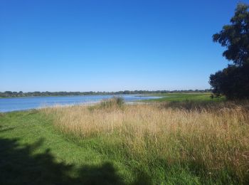
Senderismo


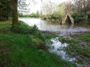
Senderismo
• Bientôt sur le jardindelolo.fr le récit de mon périple sur le GR 34, étape par étape avec commentaires et photos.

Senderismo
• Etape 4 de 6 Voie de Plantagenets
3 excursiones mostradas en 3
Aplicación GPS de excursión GRATIS
 SityTrail
IGN / Institutos geográficos
SityTrail World
El mundo es suyo