


6,3 km | 9,3 km-effort
Klagenfurt: Descubra las mejores excursiones: 12 a pie. Todos estos circuitos, recorridos, itinerarios y actividades al aire libre están disponibles en nuestras aplicaciones SityTrail para smartphone y tablet.
A pie


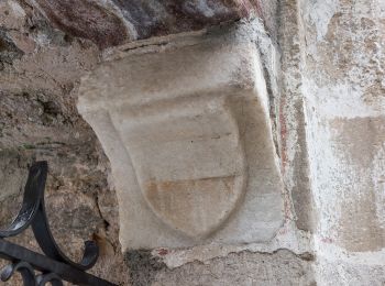
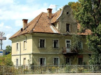
• Trail created by ÖAV – Sektion Klagenfurt. Diese Wanderung “Kreuzbergl-Runde – auf der Suche nach Sehenswertem“ wird...
A pie
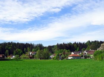
• Trail created by Stadtgarten Klagenfurt. http://wiki.openstreetmap.org/wiki/WikiProject_Austria/Wanderwege Symbol: ...
A pie
• Trail created by Stadtgarten Klagenfurt. Symbol: rot-weiss-rot 36
A pie
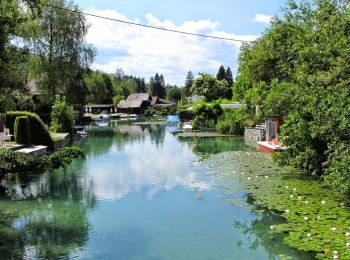
• Trail created by Stadtgarten Klagenfurt. Symbol: rot-weiss-rot 34
A pie
• Trail created by Stadtgarten Klagenfurt. Symbol: rot-weiss-rot 32
A pie
• Trail created by Stadtgarten Klagenfurt. http://wiki.openstreetmap.org/wiki/WikiProject_Austria/Wanderwege#Bezirk_Kl...
A pie
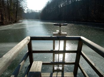
• Trail created by Stadtgarten Klagenfurt. Symbol: rot-weiss-rot 22
A pie
• Trail created by Stadtgarten Klagenfurt. http://wiki.openstreetmap.org/wiki/WikiProject_Austria/Wanderwege Symbol: ...
A pie
• Trail created by Stadtgarten Klagenfurt. http://wiki.openstreetmap.org/wiki/WikiProject_Austria/Wanderwege Symbol: ...
A pie
• Trail created by Stadtgarten Klagenfurt. http://wiki.openstreetmap.org/wiki/WikiProject_Austria/Wanderwege Symbol: ...
A pie
• Trail created by Stadtgartenamt Klagenfurt. Symbol: rot-weiss-rot 14
A pie
• Trail created by Stadtgarten Klagenfurt. Symbol: rot-weiss-rot 11
12 excursiones mostradas en 12
Aplicación GPS de excursión GRATIS
 SityTrail
IGN / Institutos geográficos
SityTrail World
El mundo es suyo