


15,2 km | 18,6 km-effort
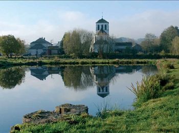
Sainte-Ode: Descubra las mejores excursiones: 264 a pie, 23 en bici o bici de montaña y 10 recorridos ecuestres. Todos estos circuitos, recorridos, itinerarios y actividades al aire libre están disponibles en nuestras aplicaciones SityTrail para smartphone y tablet.
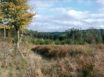
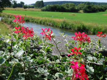
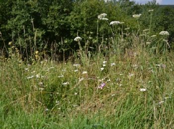
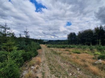
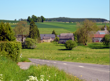
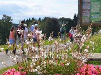
Senderismo


• Amberloup, Tillet, Jenneville, Bonnerue, bois Cousin, Tonny, AmberloupCartographie et documentation :Cartes IGN au 1 ...
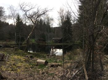
Senderismo

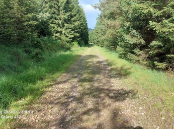
Senderismo
Senderismo
Senderismo
Senderismo
• Amberloup, Gérimont, Tillet, Jenneville, Bonnerue, bois Cousin, Tonny (Sainte-Ode), Amberloup Cartographie et docume...

Senderismo
Senderismo
A pie
A pie
Senderismo
Senderismo

Senderismo
Senderismo

Senderismo
Senderismo
A pie
• Trail created by Syndicat d'Initiative Sainte-Ode.

A pie
• Trail created by Syndicat d'Initiative Sainte-Ode.
A pie
• Trail created by Syndicat d'Initiative Sainte-Ode.
A pie
• Trail created by La Maison de la Randonnée GTA-Belgique.
20 excursiones mostradas en 301
Aplicación GPS de excursión GRATIS
 SityTrail
IGN / Institutos geográficos
SityTrail World
El mundo es suyo