


12,6 km | 15,6 km-effort
Gesves: Descubra las mejores excursiones: 360 a pie, 23 en bici o bici de montaña y 34 recorridos ecuestres. Todos estos circuitos, recorridos, itinerarios y actividades al aire libre están disponibles en nuestras aplicaciones SityTrail para smartphone y tablet.
Senderismo


Senderismo
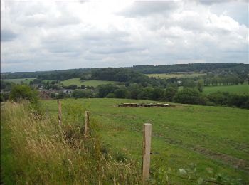
• Faulx-les-Tombes – Strud – Goyet – Mozet – Faulx-les-Tombes Ce coin du Condroz namurois se situe à deux pas du chef-...
Senderismo
• Faulx-les-Tombes – Strud – Goyet – Mozet – Mont-Sainte-marie - Faulx-les-Tombes Ce coin du Condroz namurois se situe...
Senderismo
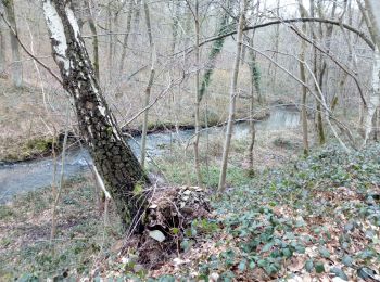
• Rivières et ruisseaux seront vos fils conducteurs lors de cette balade forestière… Vous irez de découverte en découve...
Senderismo
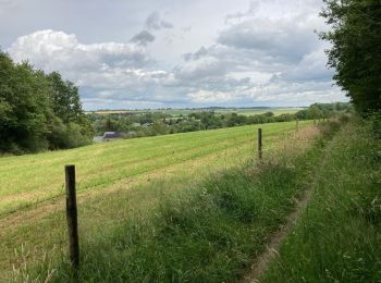
• Quelques dizaines de mètres sur le tarmac puis vous voilà parti à travers champs et vallées…Un paysage et une nature ...
Senderismo
Senderismo
Senderismo
Senderismo
• Venez vous sensibiliser à l’écologie et à l’environnement en arpentant les sentiers et les chemins qui longent des zo...
Senderismo
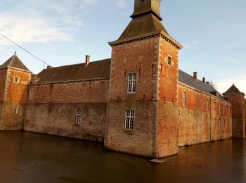
• Remontez les âges et les époques et rendez-vous au cœur de l’histoire du Pays des tiges et chavées…Châteaux, donjons ...

Paseo ecuestre
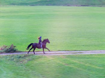
Paseo ecuestre
Senderismo
• très belle
Senderismo
• Départ Tienne St Lambert. Parking de l'église.
Senderismo
Senderismo
Senderismo
• chaud devant
Bicicleta
Senderismo
Senderismo
• très belle marche variée
20 excursiones mostradas en 426
Aplicación GPS de excursión GRATIS
 SityTrail
IGN / Institutos geográficos
SityTrail World
El mundo es suyo