


17 km | 23 km-effort
Assesse: Descubra las mejores excursiones: 327 a pie, 37 en bici o bici de montaña y 13 recorridos ecuestres. Todos estos circuitos, recorridos, itinerarios y actividades al aire libre están disponibles en nuestras aplicaciones SityTrail para smartphone y tablet.
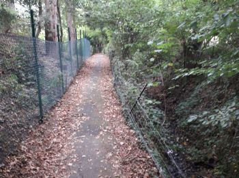
Senderismo


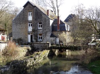
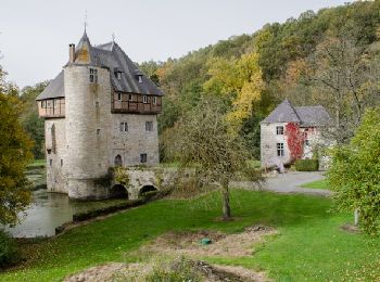
• Crupet – Spontin – Centre géographique de Wallonie – Spontin – Durnal – Crupet Remarque : Possibilité de raccourci à...

Senderismo
• Crupet – Spontin – Centre géographique de Wallonie – Spontin – Durnal – Crupet Remarque : Possibilité de raccourci à...
Senderismo
• Découvrez, ou redécouvrez, le paysage qui vous entoure, se dessinant entre collines et vallées… Grâce à une table did...
Senderismo
Senderismo
Senderismo
Bici de montaña

Senderismo
Senderismo
Senderismo

Senderismo

Senderismo
Senderismo
A pie
Senderismo
• Marche belle région
Senderismo

Senderismo
Bici de montaña

A pie
A pie
20 excursiones mostradas en 428
Aplicación GPS de excursión GRATIS
 SityTrail
IGN / Institutos geográficos
SityTrail World
El mundo es suyo