


18,1 km | 22 km-effort
Beauvechain: Descubra las mejores excursiones: 164 a pie y 9 en bici o bici de montaña. Todos estos circuitos, recorridos, itinerarios y actividades al aire libre están disponibles en nuestras aplicaciones SityTrail para smartphone y tablet.
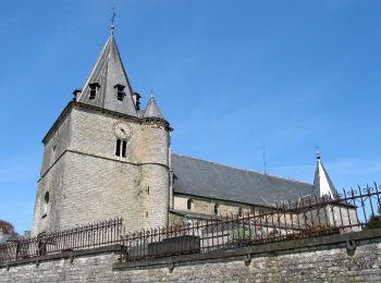
Senderismo


• Hamme-Mille – Gottechain – Nethen – Forêt de Meerdael – Hamme-Mille Le village de Hamme-Mille est le point de départ...
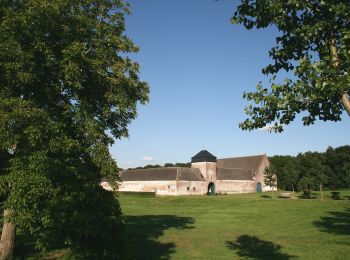
Senderismo
• Hamme-Mille – Gottechain – Archennes – Nethen – Forêt de Meerdael – Hamme-Mille Le village de Hamme-Mille est le poi...

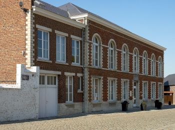
Senderismo
• Hamme-Mille – Gottechain – Archennes – Nethen – Forêt de Meerdael – Hamme-Mille Le village de Hamme-Mille est le poi...
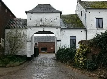
Senderismo

Bici de montaña
•
A pie
• Trail created by Maison du Tourisme Hesbaye Brabançonne. Symbol: Yellow stripe on a white background
A pie
• Trail created by Maison du Tourisme Hesbaye Brabançonne. Symbol: A red background Sitio web: http://www.hesbayebra...
A pie
• Trail created by Maison du Tourisme Hesbaye Brabançonne. Symbol: A red background Sitio web: http://www.hesbayebra...
A pie
• Trail created by Maison du Tourisme Hesbaye Brabançonne. Symbol: A yellow background
A pie
• Trail created by Maison du Tourisme Hesbaye Brabançonne. Symbol: Blue diamond on a white background
A pie
• Trail created by Maison du Tourisme Hesbaye Brabançonne. Symbol: Blue diamond on a white background
A pie
• Trail created by Maison du Tourisme Hesbaye Brabançonne. Symbol: White stripe on a green background

Senderismo
Senderismo

A pie
Senderismo
Senderismo
Senderismo
A pie
A pie
20 excursiones mostradas en 182
Aplicación GPS de excursión GRATIS
 SityTrail
IGN / Institutos geográficos
SityTrail World
El mundo es suyo