


13 km | 28 km-effort
Treschenu-Creyers: Descubra las mejores excursiones: 219 a pie, 6 en bici o bici de montaña y 1 recorridos ecuestres. Todos estos circuitos, recorridos, itinerarios y actividades al aire libre están disponibles en nuestras aplicaciones SityTrail para smartphone y tablet.
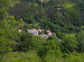
Senderismo


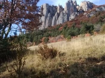
Senderismo
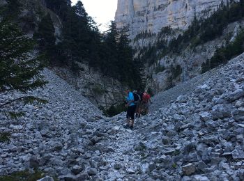
Senderismo
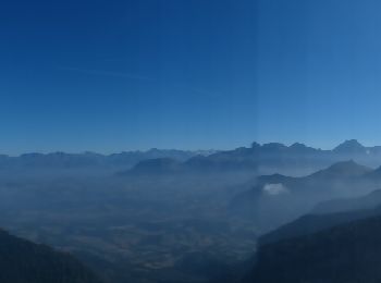
• LCV. Croix du Lautaret. Très belle rando faite avec Maurice en reco.
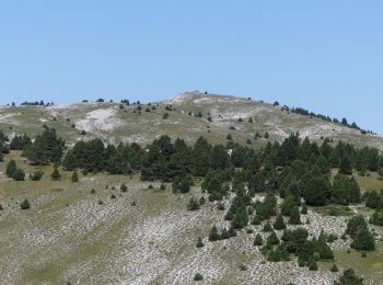
Senderismo
Senderismo

Senderismo
Senderismo
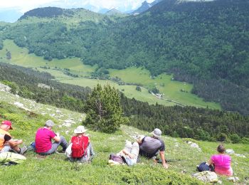
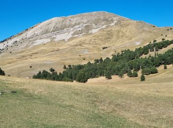
• Belle ballade avec de magnifiques vautours.
Senderismo
Senderismo
Senderismo
Senderismo
Senderismo
Senderismo
Senderismo
Senderismo
Senderismo
Senderismo
Senderismo
Senderismo
Senderismo
20 excursiones mostradas en 239
Aplicación GPS de excursión GRATIS
 SityTrail
IGN / Institutos geográficos
SityTrail World
El mundo es suyo