


24 km | 32 km-effort
Hotonnes: Descubra las mejores excursiones: 47 a pie, 18 en bici o bici de montaña y 2 recorridos ecuestres. Todos estos circuitos, recorridos, itinerarios y actividades al aire libre están disponibles en nuestras aplicaciones SityTrail para smartphone y tablet.
Bici de montaña


Bici de montaña
Senderismo
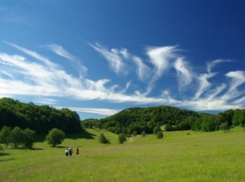
Senderismo
Senderismo

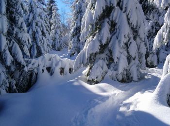
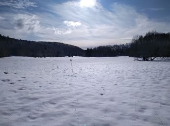
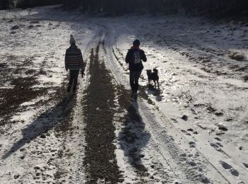
Raquetas de nieve
Senderismo
Senderismo
Otra actividad
Senderismo
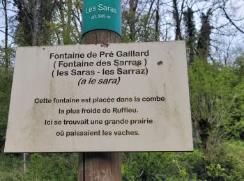
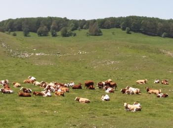
• ce circuit, particulièrement attractif pour des enfants, suit en partie le sentier de la découverte et permet de déco...
Bici de montaña

Bici de montaña
Bici de montaña
Senderismo

Paseo ecuestre
Paseo ecuestre

Senderismo

A pie

Bici de montaña
A pie
20 excursiones mostradas en 86
Aplicación GPS de excursión GRATIS
 SityTrail
IGN / Institutos geográficos
SityTrail World
El mundo es suyo