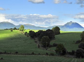
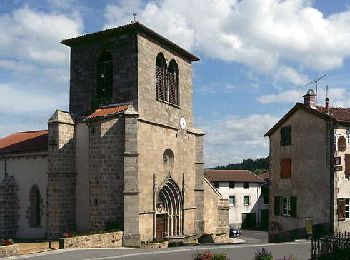
La Chapelle-Agnon, Puy-de-Dôme: Los mejores itinerarios de excursión, recorridos, paseos y sendas

La Chapelle-Agnon: Descubra las mejores excursiones: 6 a pie y 1 recorridos ecuestres. Todos estos circuitos, recorridos, itinerarios y actividades al aire libre están disponibles en nuestras aplicaciones SityTrail para smartphone y tablet.


Los mejores recorridos (7)
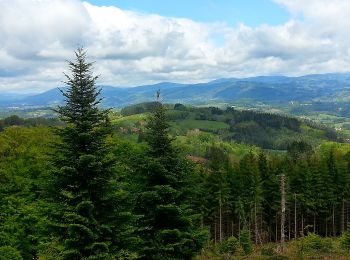
Excursión A pie La Chapelle-Agnon - Le Bois de Pierre Blanche - Photo
A pie 9.04
Km
PRO

A pie

Fácil
La Chapelle-Agnon, Auvergne-Rhône-Alpes, Puy-de-Dôme, France
9 km | 12,9 km-effort
2h 55min
288 m
280 m
SityTrail - itinéraires balisés pédestres

• Trail created by CD63.

Excursión Senderismo La Chapelle-Agnon - Chapelle_Agnon_Pierre_Blanche - Photo
Senderismo 9.224
Km
GUIDE

Senderismo

Medio
La Chapelle-Agnon, Auvergne-Rhône-Alpes, Puy-de-Dôme, France
9,2 km | 13,1 km-effort
2h 45min
290 m
289 m
jagarnier

Excursión A pie La Chapelle-Agnon - La Chapelle-Agnon - Photo
A pie 9.262
Km
PRO

A pie

Fácil
La Chapelle-Agnon, Auvergne-Rhône-Alpes, Puy-de-Dôme, France
9,3 km | 13,5 km-effort
3h 4min
320 m
311 m
No
SityTrail - itinéraires balisés pédestres

• Trail created by CD63.

Excursión Senderismo La Chapelle-Agnon - Chapelle_Agnon - Photo
Senderismo 9.571
Km
GUIDE

Senderismo

Medio
La Chapelle-Agnon, Auvergne-Rhône-Alpes, Puy-de-Dôme, France
9,6 km | 14 km-effort
2h 45min
330 m
327 m
jagarnier

Excursión Paseo ecuestre La Chapelle-Agnon - SityTrail - Boucle d'Or - Etape Cunlhat / St Eloy la Glacière - 23 km - Photo
Paseo ecuestre 28.706
Km

Paseo ecuestre

Difícil
La Chapelle-Agnon, Auvergne-Rhône-Alpes, Puy-de-Dôme, France
29 km | 41 km-effort
5h 22min
978 m
722 m
No
clement63

Excursión Senderismo La Chapelle-Agnon - 2023 08 21 La Chapelle Agnon - Photo
Senderismo 10.158
Km

Senderismo

Medio
La Chapelle-Agnon, Auvergne-Rhône-Alpes, Puy-de-Dôme, France
10,2 km | 14,3 km-effort
2h 33min
311 m
311 m
chlafaille

Excursión Senderismo La Chapelle-Agnon - chapelle agnon - Photo
Senderismo 7.737
Km

Senderismo

Medio
La Chapelle-Agnon, Auvergne-Rhône-Alpes, Puy-de-Dôme, France
7,7 km | 11,4 km-effort
2h 2min
273 m
275 m
fonlupt

7 excursiones mostradas en 7

Aplicación GPS de excursión GRATIS

Logo SityTrail SityTrail

IGN / Institutos geográficos

Descargar SityTrail en App Store Descargar SityTrail en Google Play

Logo SityTrail SityTrail World

El mundo es suyo

Descargar SityTrail en App Store Descargar SityTrail en Google Play Descargar SityTrail en Huawei AppGallery

Actividades

Cerrar
Mis suscripciones