


16,6 km | 25 km-effort
Περιφερειακή Ενότητα Μήλου: Descubra las mejores excursiones: 37 a pie. Todos estos circuitos, recorridos, itinerarios y actividades al aire libre están disponibles en nuestras aplicaciones SityTrail para smartphone y tablet.

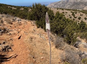
Senderismo


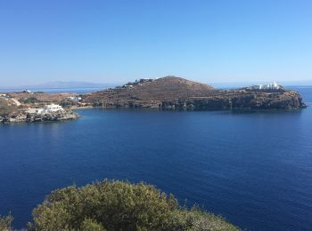
Senderismo
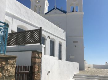
Senderismo
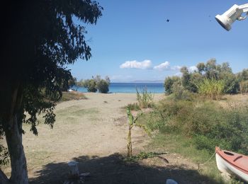
Senderismo
Senderismo
Barco a motor
Senderismo
Senderismo
Senderismo
Senderismo
Senderismo
Senderismo
• Départ arrêt bus à Plaka et retour à Adamas par Catacombes et chemin des Obsidiennes.
Senderismo
• Milos, de Zefiria church à Thiorichia beach
Senderismo
Senderismo
Senderismo
Senderismo
Senderismo
Senderismo
Senderismo
20 excursiones mostradas en 38
Aplicación GPS de excursión GRATIS
 SityTrail
IGN / Institutos geográficos
SityTrail World
El mundo es suyo