


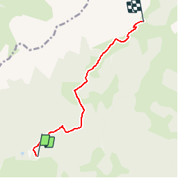


3,7 km | 10,7 km-effort


Usuario


Aplicación GPS de excursión GRATIS
 SityTrail
IGN / Institutos geográficos
SityTrail World
El mundo es suyo
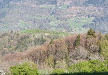
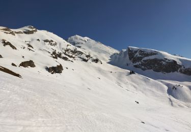
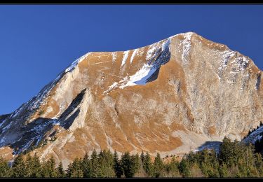
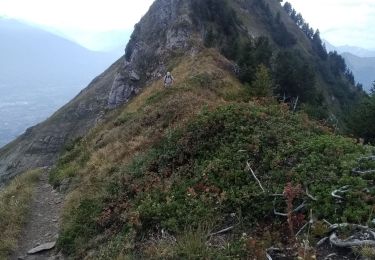
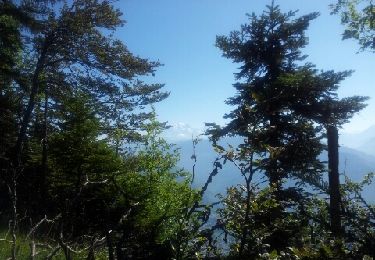
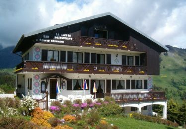
Ruta Raquetas de nieve de 4,3 km a descubrir en Auvergne-Rhône-Alpes, Saboya, Ugine. Esta ruta ha sido propuesta por albertville.
Le Col de l''Arpettaz depuis Ugine


Senderismo
Senderismo
Esquí de fondo
Senderismo
Senderismo
Senderismo
Senderismo
Senderismo
Senderismo