


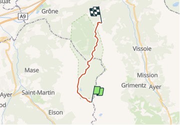

6,3 km | 9,8 km-effort


Usuario


Aplicación GPS de excursión GRATIS
 SityTrail
IGN / Institutos geográficos
SityTrail World
El mundo es suyo
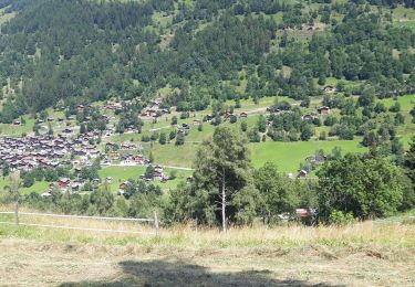
Ruta Otra actividad de 11,5 km a descubrir en Vallés, Hérens, Saint-Martin (VS). Esta ruta ha sido propuesta por Dgubler.
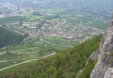
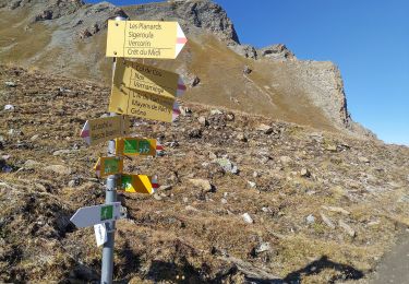
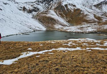
itinéraire de l''excursion au Vallon de Réchy d''Ecoréseau, le 5 août 2007, entre la cabane des Becs de Bosson et la station de Sigéroula de la télécabine Crêt-du-Midi - Vercorin. Plein de plantes rares, une magnifique réserve naturelle
A pie
A pie
A pie
A pie
Senderismo
Senderismo
A pie

Senderismo
Senderismo