


14,4 km | 16,3 km-effort


Usuario


Aplicación GPS de excursión GRATIS
 SityTrail
IGN / Institutos geográficos
SityTrail World
El mundo es suyo
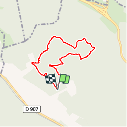
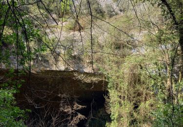
Ruta A pie de 6,6 km a descubrir en Occitania, Gard, Nîmes. Esta ruta ha sido propuesta por PatCoria.
Départ du parking à l'entrée du Clos de Gaillard à Vallonge (commune de Nîmes), les coordonnées sont: N 43.883507° / E 4.267542°.
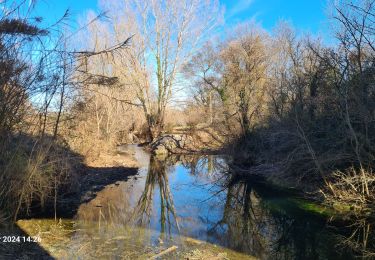
Senderismo

Senderismo
Senderismo
Senderismo
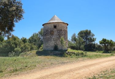
Senderismo
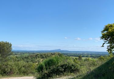
Senderismo
Senderismo

Senderismo