


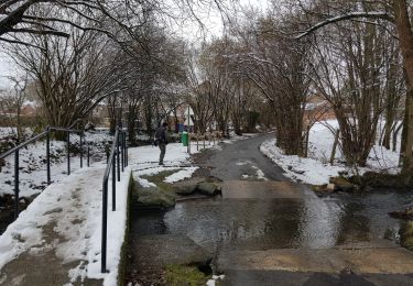
9,5 km | 12 km-effort

Randonnez sur et autour des GR ® wallons (Sentiers de Grande Randonnée). PRO


Aplicación GPS de excursión GRATIS
 SityTrail
IGN / Institutos geográficos
SityTrail World
El mundo es suyo
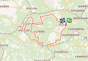
Ruta Senderismo de 17,1 km a descubrir en Valonia, Lieja, Aubel. Esta ruta ha sido propuesta por GR Rando.
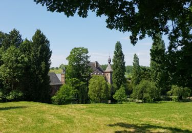
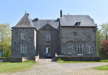
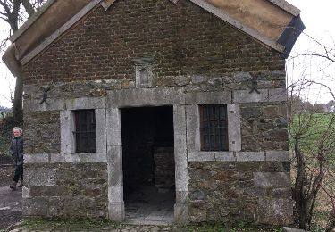
À travers le bocage aubelois
(Aubel, Messiter, Val-Dieu, Saint-Jean-Sart, Creft, Hellestrop, Aubel)
Cartographie et documentation :
Carte IGN au 1 : 20 000, 42/3-4 « Dalhem – Herve ».
Topo-guide du GR 563 « Tour du Pays de Herve ».
Où se désaltérer et se restaurer :
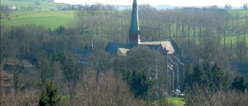
Nous avons déjà signalé les possibilités qu’offrait Val-Dieu.
À Aubel, vous trouverez un choix beaucoup plus varié de cafés et de restaurants. Le « Vieil Aubel », dont il a été question ci-dessus, sort du lot par son attrait architectural.


Senderismo
Senderismo

Senderismo
Senderismo
Senderismo
Senderismo
Senderismo
Bici de montaña
Otra actividad
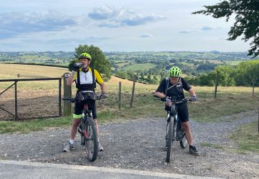
Superbe parcours au Pays d'Aubel.