


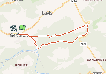


14,3 km | 19 km-effort


Randonnées de la Maison du Tourisme Famenne - Ardenne Ourthe & Lesse PRO


Aplicación GPS de excursión GRATIS
 SityTrail
IGN / Institutos geográficos
SityTrail World
El mundo es suyo
Ruta Senderismo de 7,1 km a descubrir en Valonia, Namur, Houyet. Esta ruta ha sido propuesta por Maison du Tourisme Famenne - Ardenne Ourthe & Lesse.
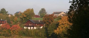
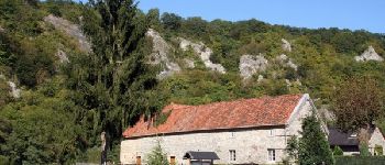
Lovely walk through deep woods with a rather steep climb trailing along the picturesque Ywoigne brook for a couple of kilometers. You will also learn more about Houyet’s rich royal past, which used to house the Royal Castle of Ardennes, which was converted by King Léopold II into a luxury hotel and became the place to be for the crowned heads of Europe and a hot spot for tourism.


Senderismo

Senderismo

Senderismo

Senderismo

Senderismo

Senderismo

Senderismo

Senderismo

Senderismo
uniek en geweldig
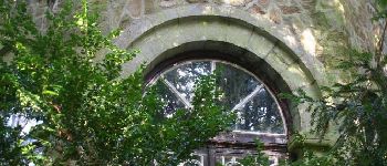
! Beau château
Chemin très tranquille le long de l'Ywoigne. Superbe parcours, un peu boueux, vers le retour, qui doit se faire en silence si on veux profiter des bruits de la forêt. J'en veux encore.