


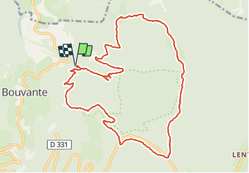

13,7 km | 23 km-effort

Usuario


Aplicación GPS de excursión GRATIS
 SityTrail
IGN / Institutos geográficos
SityTrail World
El mundo es suyo
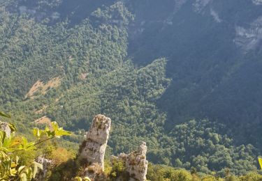
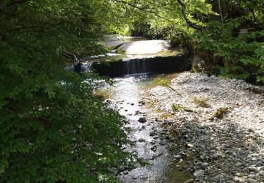
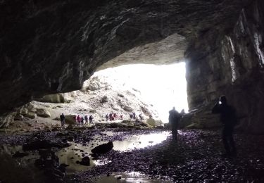
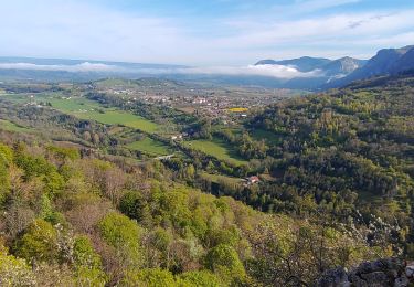
Ruta Senderismo de 13,4 km a descubrir en Auvergne-Rhône-Alpes, Drôme, Bouvante. Esta ruta ha sido propuesta por randodyssée.
gene
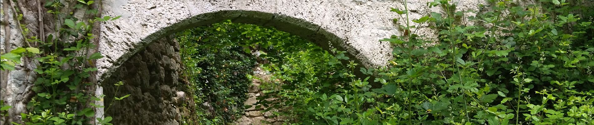
rando ombragée
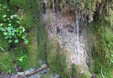
muguet et ail des ours au milieu rando
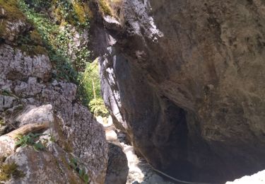
pas du merle qques gros troncs sur sentier


Senderismo
Senderismo
Senderismo
Senderismo
Senderismo
Senderismo
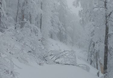
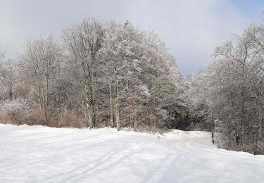
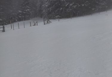
Raquetas de nieve
Senderismo
Senderismo