


19,1 km | 30 km-effort

Usuario


Aplicación GPS de excursión GRATIS
 SityTrail
IGN / Institutos geográficos
SityTrail World
El mundo es suyo
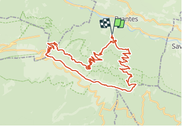
Ruta Senderismo de 28 km a descubrir en Provenza-Alpes-Costa Azul, Vaucluse, Brantes. Esta ruta ha sido propuesta por MarcLEBARON.
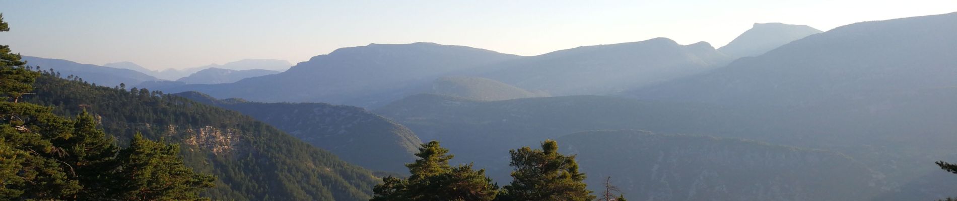
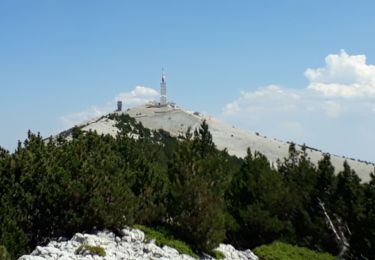
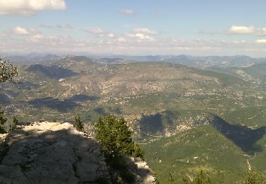
Rando versant nord en milieu forestier, et crête du Ventoux (magnifiques paysages de forêt et pierriers.. animaux).
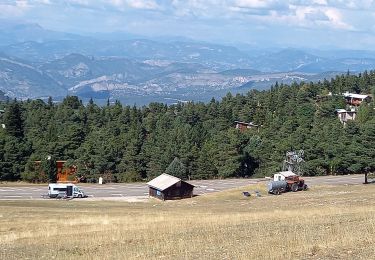
La partie redescente en dessous du pas de la Frache de la côte 1450 à 1100 se fait en sentier "trâce" à gibier plutôt trâce que sentier et ensuite sur piste un peu monotone en fin de rando.


Senderismo
Senderismo
Senderismo
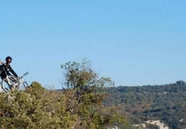
Bici de montaña
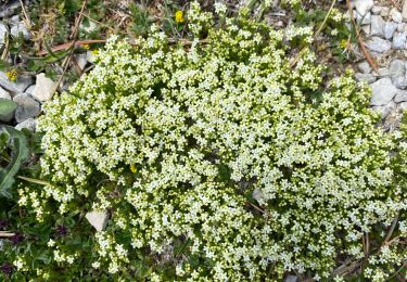
Senderismo

Senderismo
Senderismo
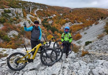
Bici de montaña
Senderismo