


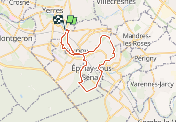


16,8 km | 18,6 km-effort


Club randonnées SERVON


Aplicación GPS de excursión GRATIS
 SityTrail
IGN / Institutos geográficos
SityTrail World
El mundo es suyo
Ruta Senderismo de 13,4 km a descubrir en Isla de Francia, Essonne, Yerres. Esta ruta ha sido propuesta por Les 1000 pattes.
Parking des 2 Rivières à Yerres
Trajet Servon-->Parking (8,5km: 20mn)
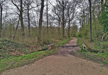
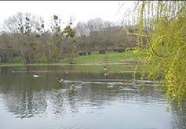
Senderismo
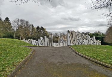
Senderismo

Senderismo

Senderismo
Senderismo

A pie

Senderismo
A pie
A pie