


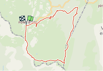

9,2 km | 14,2 km-effort

Usuario


Aplicación GPS de excursión GRATIS
 SityTrail
IGN / Institutos geográficos
SityTrail World
El mundo es suyo
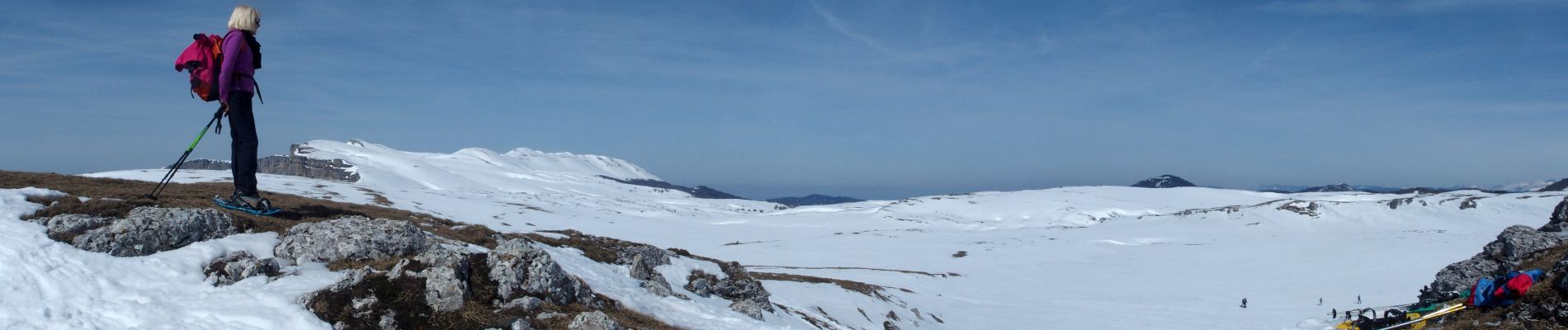
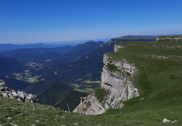
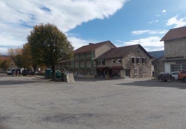
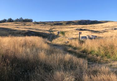
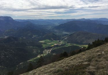
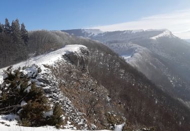
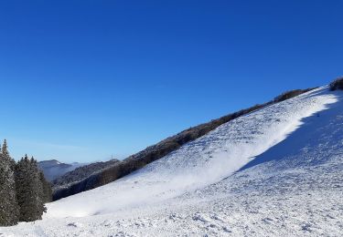
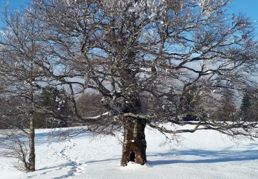
Ruta Raquetas de nieve de 10,7 km a descubrir en Auvergne-Rhône-Alpes, Drôme, Bouvante. Esta ruta ha sido propuesta por TOULAUDIN.
trace effectuée en Mars 2015 faire uniquement par beau temps
paysage sublime on peut racourcir pour le retour


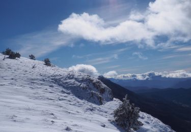
Raquetas de nieve

Senderismo
Senderismo
Senderismo
Senderismo
Senderismo
Senderismo
Senderismo
Marcha nórdica