


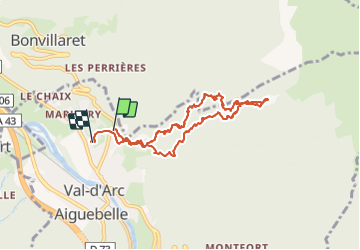

7,7 km | 28 km-effort

Usuario


Aplicación GPS de excursión GRATIS
 SityTrail
IGN / Institutos geográficos
SityTrail World
El mundo es suyo
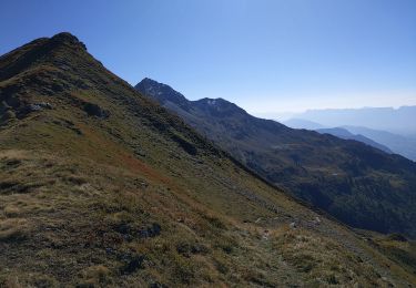
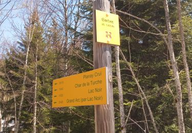
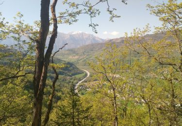
Ruta Senderismo de 8,8 km a descubrir en Auvergne-Rhône-Alpes, Saboya, Val-d'Arc. Esta ruta ha sido propuesta por jibebouvier.
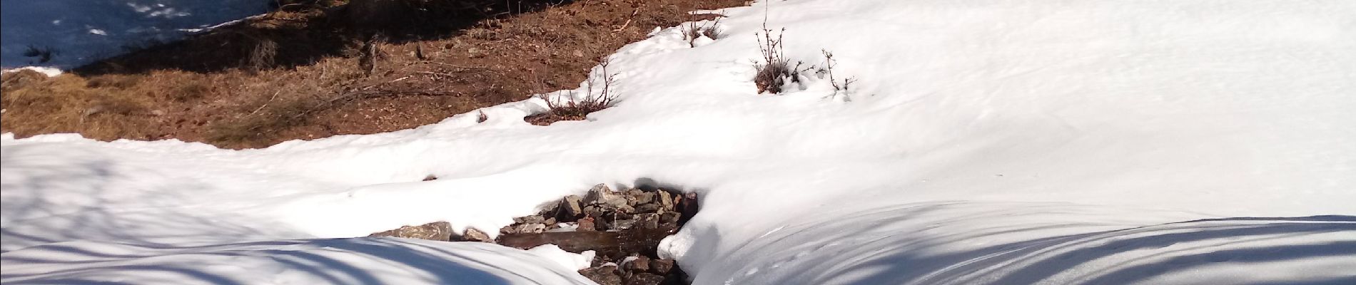
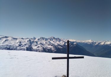
avec les griffes à partir de 900m d'altitude.
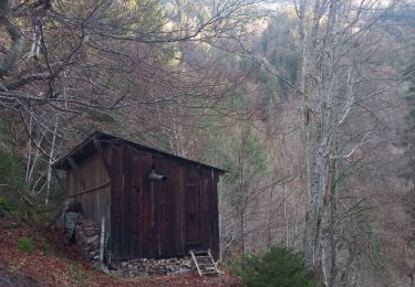
chemins invisibles... faut connaître ! en tout cas l'hiver, mais y aura du boulot au printemps, des arbres couchés de partout !


Senderismo
Senderismo
Senderismo
Senderismo
Senderismo
Senderismo
Senderismo
Senderismo

Paseo ecuestre