


20 km | 30 km-effort

Randonnées du CGT GUIDE+


Aplicación GPS de excursión GRATIS
 SityTrail
IGN / Institutos geográficos
SityTrail World
El mundo es suyo
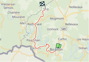
Ruta A pie de 16,7 km a descubrir en Valonia, Luxemburgo, Bouillon. Esta ruta ha sido propuesta por Commissariat général au Tourisme.
Trail created by Pays de Bouillon en Ardenne.
Magnificent line hike crossing the commune of Bouillon. Its forest massifs with their dreamy landscapes, its typical villages of Corbion, Poupehan, Rochehaut and Vivy will enchant you. A rich itinerary in terms of history, botany and landscape. A rustic path, wild in places or a large stone path at other times.
You can return via the forest path from Vivy to Mogimont and at the end of the wood, turn right onto the GR 14 to Bouillon. 12.5 km from Vivy to Bouillon. Total 30 km.
Possibility to stay at Rochehaut. Bus from Vivy only on weekdays (not weekends) to Bouillon.
Translated with www.DeepL.com/Translator (free version)
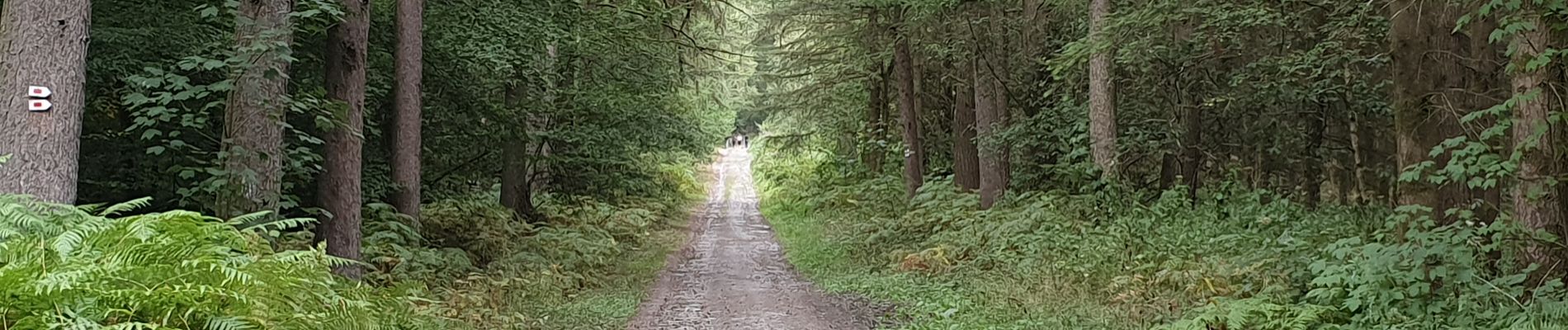
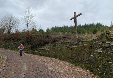
 - Photo 1")
 - Photo 2")
 - Photo 3")
 - Photo 4")
 - Photo 5")

Senderismo

Senderismo

Senderismo

Senderismo

Senderismo

Senderismo

Senderismo

Senderismo
Senderismo