


8 km | 9,4 km-effort


Randonnées du CGT GUIDE+


Aplicación GPS de excursión GRATIS
 SityTrail
IGN / Institutos geográficos
SityTrail World
El mundo es suyo
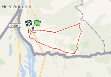
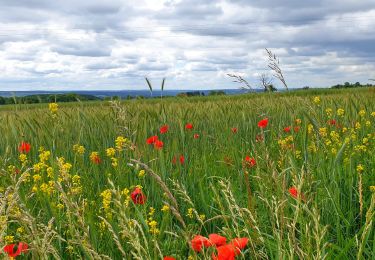
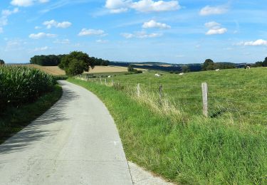
Ruta A pie de 5,6 km a descubrir en Valonia, Namur, Hastière. Esta ruta ha sido propuesta por Commissariat général au Tourisme.
Trail created by Vallée de la Meuse Namur-Dinant.

Senderismo

Senderismo
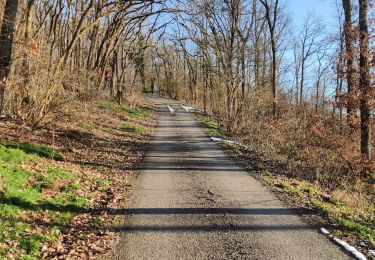
Senderismo

Senderismo

Senderismo
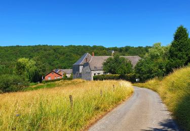
Senderismo
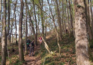
Senderismo
Senderismo
A pie