


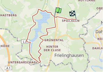

21 km | 27 km-effort

Tous les sentiers balisés d’Europe PRO


Aplicación GPS de excursión GRATIS
 SityTrail
IGN / Institutos geográficos
SityTrail World
El mundo es suyo
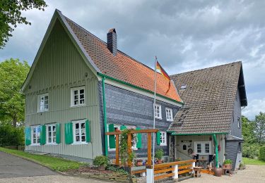
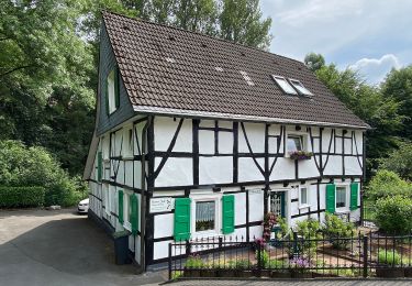
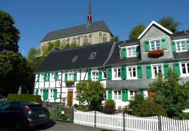
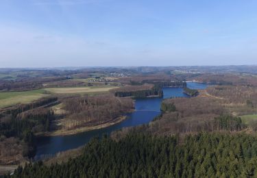
Ruta A pie de 7,5 km a descubrir en Renania del Norte-Westfalia, Wuppertal. Esta ruta ha sido propuesta por SityTrail - itinéraires balisés pédestres.
Trail created by Sauerländischer Gebirgsverein.
Symbol: A4 auf schwarzem Grund


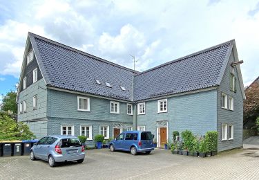
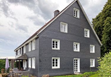
![Excursión A pie Radevormwald - [Ra] Rund um Radevormwald - Photo](https://media.geolcdn.com/t/375/260/ext.jpg?maxdim=2&url=https%3A%2F%2Fmedia.geolcdn.com%2Ff%2F8f2eda21-0a7d-4da7-87a2-0a5d53ecedd4.jpeg)
A pie
A pie
A pie
A pie
A pie
A pie
A pie
A pie
A pie