


32 km | 37 km-effort
Randonnées au coeur d'une nature préservée GUIDE+


Aplicación GPS de excursión GRATIS
 SityTrail
IGN / Institutos geográficos
SityTrail World
El mundo es suyo
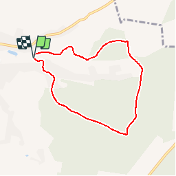
Ruta Senderismo de 6,3 km a descubrir en Valonia, Henao, Froidchapelle. Esta ruta ha sido propuesta por La Forêt du Pays de Chimay.
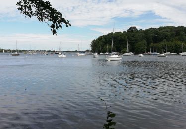
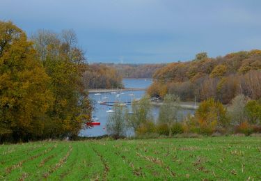
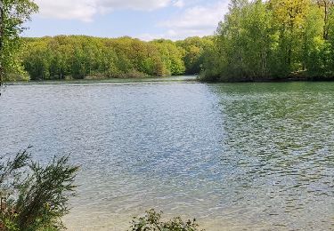
Feel like a breath of fresh air and pretty natural spots? Take our advice and take this
walk. It is indeed a charming itinerary taking you to the heart of our forests
via some wonderful paths.
You can also sit at a table and indulge in the joys of
barbecue.
For sports fans, a Vita trail is laid out at the heart of the Bois du Grand Berceau wood.
Finally, to quench your thirst for nature, you can prolong the walk by a few kilometres
by following either the Bois d'Hurtaux (Hurtaux Wood) loop, which is 1.5 km, or the
Hamaides loop, that lets you make the most of our
beautiful forests over a distance of 2 km.
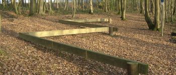
 - Martinsart Walk - Photo 1")
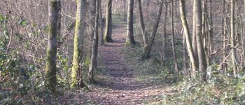
 - Martinsart Walk - Photo 2")

Bici de montaña

Senderismo
Senderismo

Senderismo

Senderismo
Senderismo
Senderismo
A pie
Senderismo
Nice forest walk, wrong direction though.