


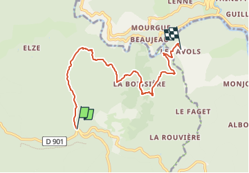

11,9 km | 20 km-effort


Tous les sentiers balisés d’Europe PRO


Aplicación GPS de excursión GRATIS
 SityTrail
IGN / Institutos geográficos
SityTrail World
El mundo es suyo
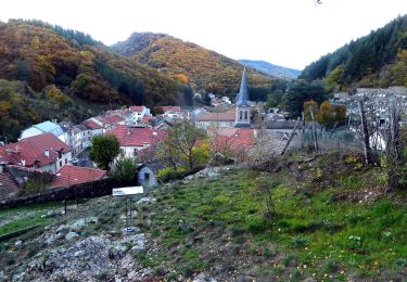
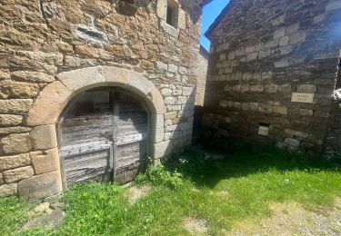
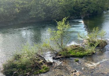
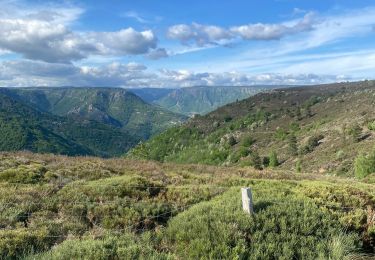
Ruta A pie de 6,4 km a descubrir en Occitania, Gard, Malons-et-Elze. Esta ruta ha sido propuesta por SityTrail - itinéraires balisés pédestres.
Symbol: blue yellow
Senderismo
Senderismo
Senderismo

Senderismo
Senderismo
Senderismo

Senderismo
Senderismo